
If you are a Southern California railfan, you know of the railroad route that goes from San Bernardino to Victorville via Cajon Pass. To the railfan-photographer it is known as an area of many locales for very dramatic pictures. To the trainmen I know, it is a long, steep section of the railroad that demands the highest level of train handling. Even with today’s powerful locomotives and more effective dynamic braking, gravity remains a dangerous and unfeeling foe of safe and efficient passage of trains over the pass. The deadly history of the pass tells of many disasters. Included in this history is the ongoing efforts by the operating railroads to improve the route to lower operating costs and hazards to the trains. Many changes to the route have occurred since I first went to the Cajon Pass to photograph the railroad operations. I have recently found slides in my untended “collection” which document the changes at Cajon Summit since about 1962 – at least some of them. I will share them with you in phases. This is the phase which illustrates the Summit area as it appeared before the major changes.
Click to enlarge.
-
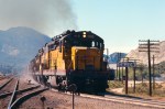
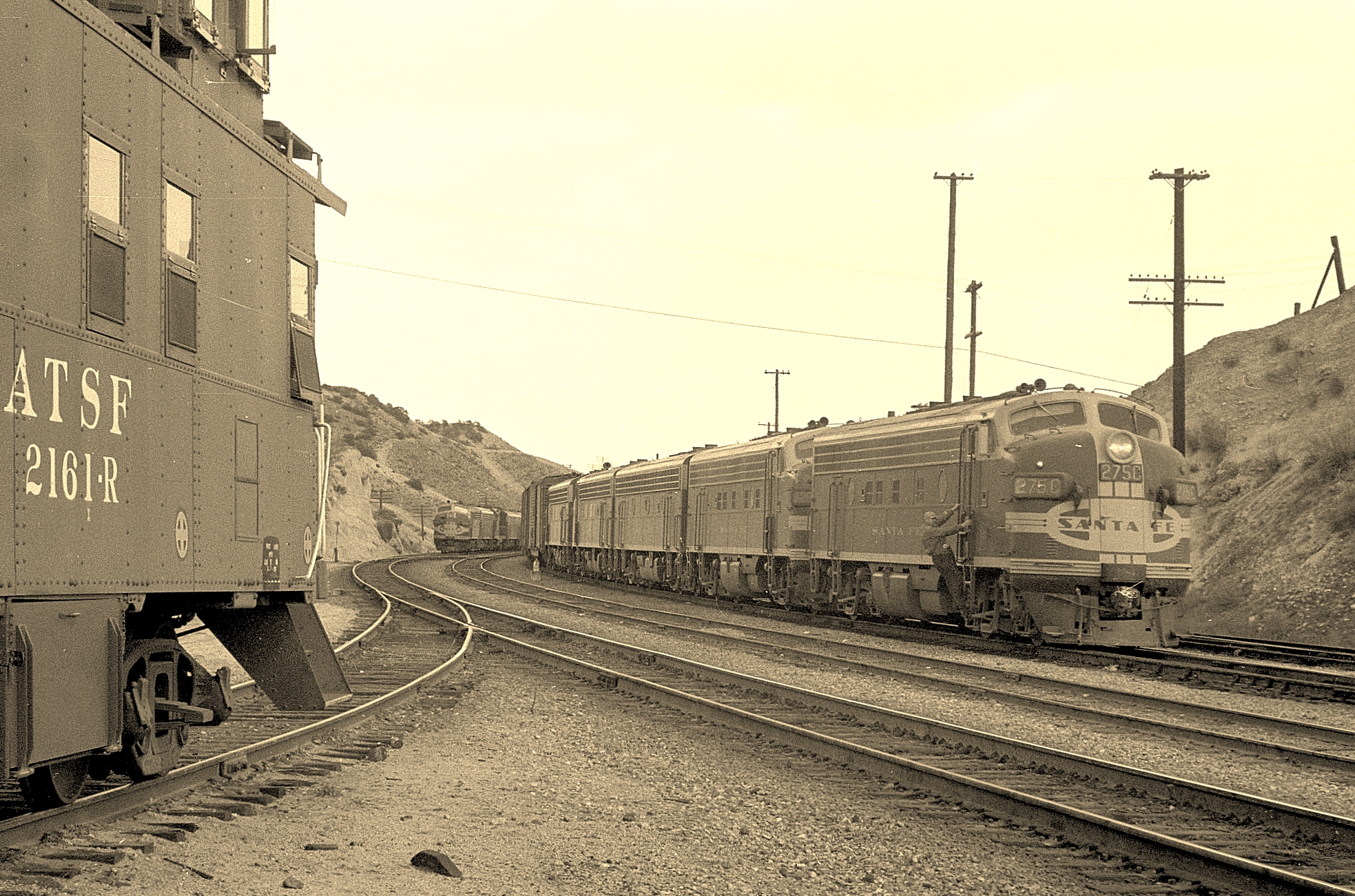
- THIS IS WHAT WAS REQUIRED TO MAKE TIME ON THE CAJON PASS GRADES IN 1967.

-
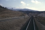
- 3% GRADE IS USED AS THE DOWN TRACK FOR WESTBOUND TRAINS – I WONDER WHY.
-

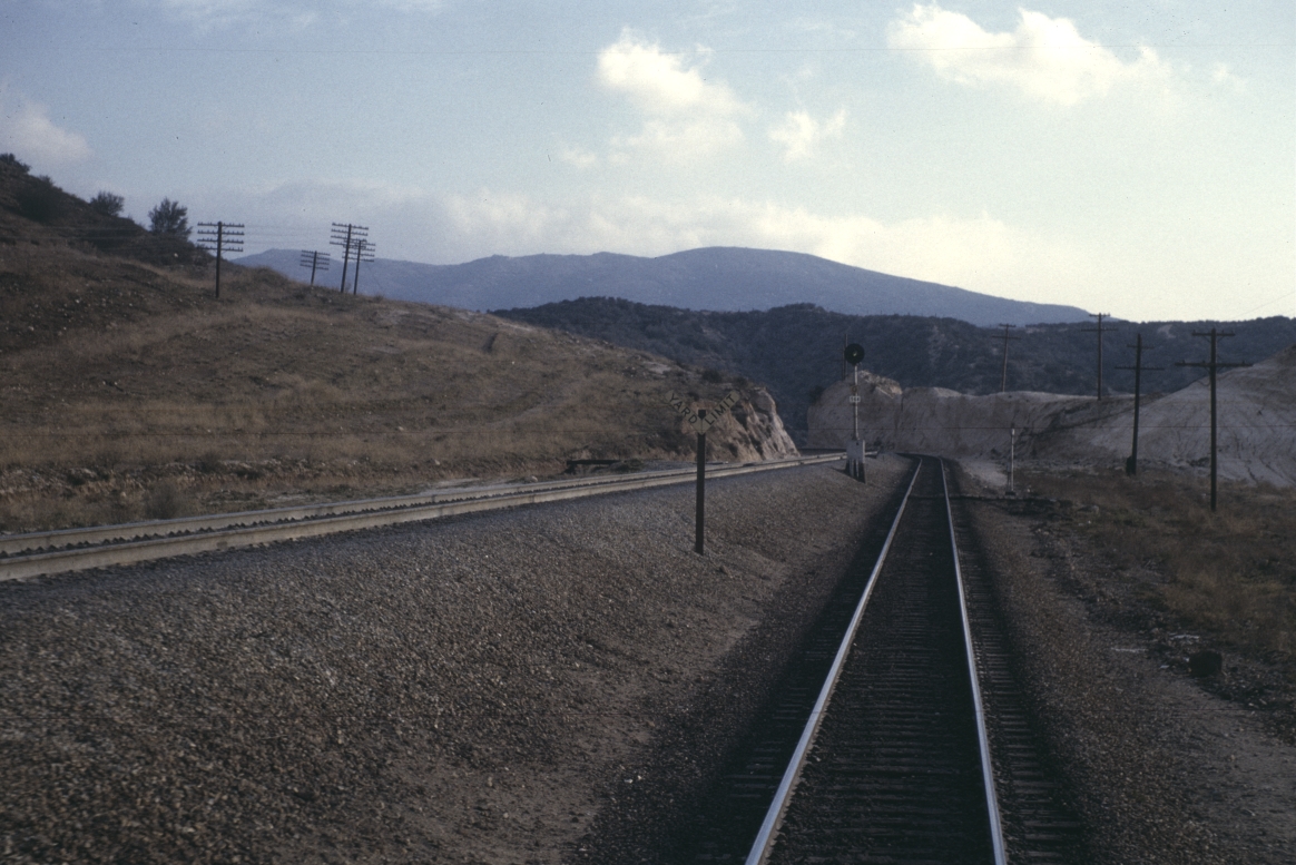
- LOOKS LIKE A NICE RIDE

-

- IT WAS NECESSARY TO BRING WATER FOR USE AT THE DEPOT AND AGENT’S HOME..

-
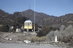
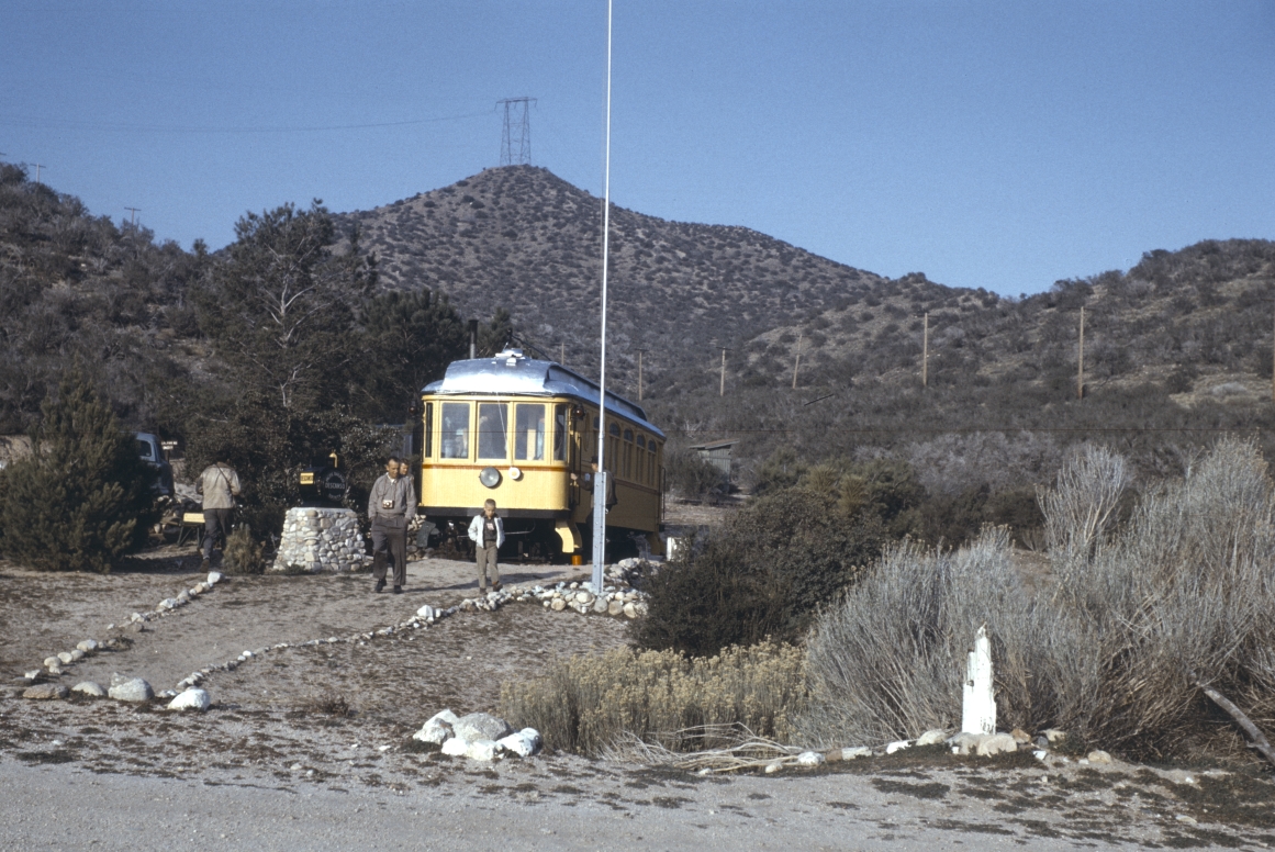
- OBSERVATION POST OF PACIFIC RAIL SOCIETY
-

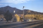
- 1964 VIEW EAST AT SUMMIT STATION.

-
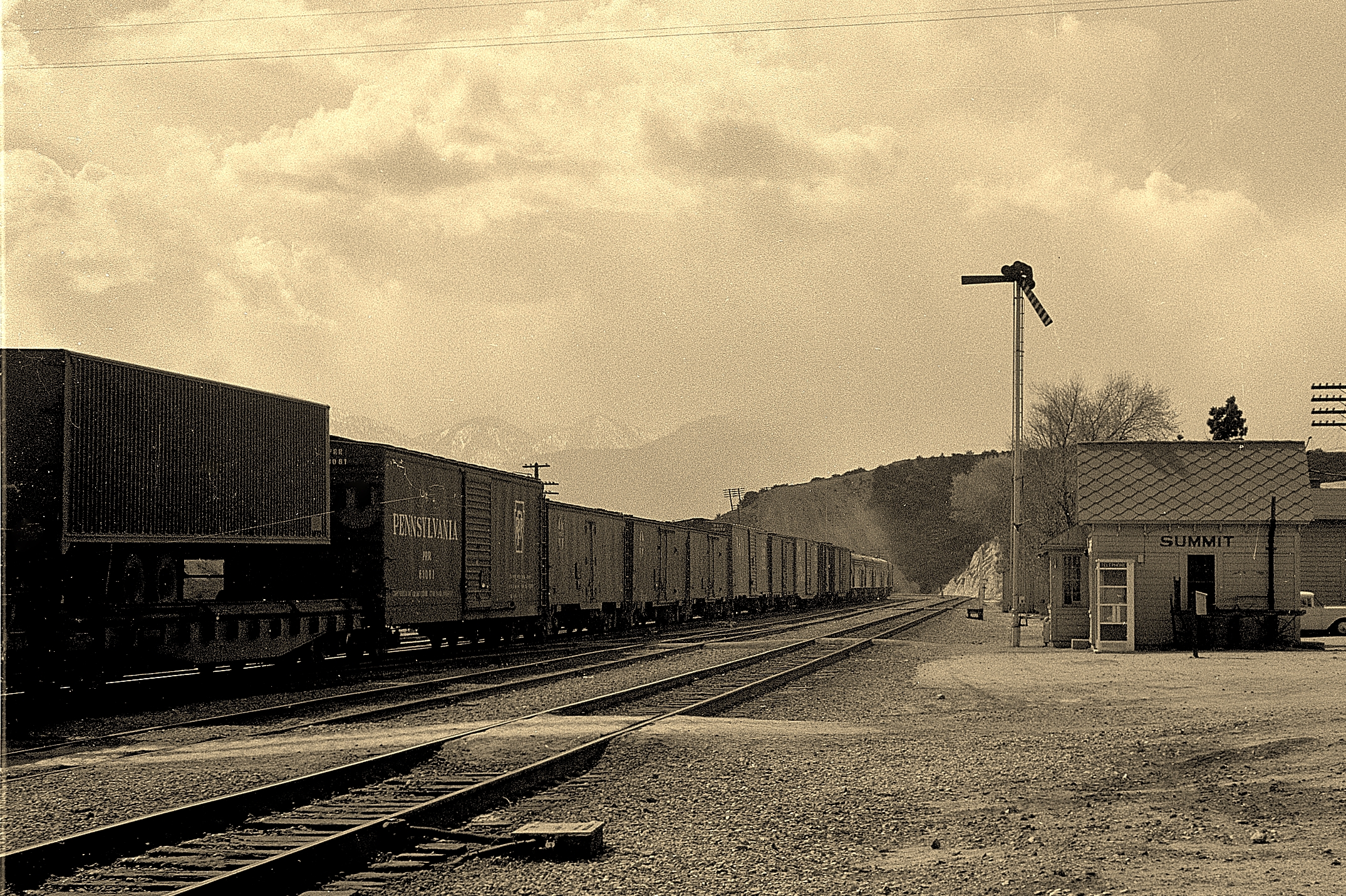
- 1964 VIEW OF THE DEPOT AT SUMMIT STATION


Hi. Thanks for sharing the Cajon Pass Summit old photos. We are building a model of Summit as it was in the 1960’s, so any photos are welcome, especially of the buildings and surrounding scenery. Regards, John